07.15.13
Online tools for better observation and understanding of coastal erosion & sensitive habitats (among many other uses)
By gusgatesEver wondered how long that landslide at the headland has been there? How about changes in erosion related to shoreline hardening structures over time? The State of Oregon’s navigatOR program is pleased to announce the new generation of the Oregon Imagery Explorer. In concert with the Oregon Explorer team, they hired Esri Consulting Services to develop the new site. Data nerds get excited!
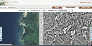
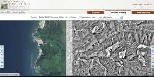
You will find much of the same functionality from the old Imagery Explorer site, in addition to many new features and data. Imagery Explorer now provides streaming and download access to five generations of statewide aerial imagery: 1995, 2000, 2005, 2009, 2011, with the addition of 2009 and 2011 Color Infrared, Pictometry orthophotos in selected urban centers, bare earth hillshade, and other products derived from available Lidar data. The new functionality uses either a swipe tool or transparency overlay tool to compare imagery from any available year to another year, or to the bare hillshade. Check it out and play around with some of the areas that you are familiar with, this is a really cool tool!
In addition to the Imagery Explorer Application, the same imagery and Lidar-derived products can be accessed through web services in your web or desktop client of choice, allowing you to access the data without having to download and store it.
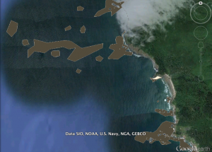
Another great online tool available curtesy of the State of Oregon is Oregon MarineMap. Through data visualization, real-time analysis, and reporting, the primary goal of Oregon MarineMap is to provide resource managers, scientists, stakeholders, and the public a means to conduct transparent and collaborative coastal and marine spatial planning. Oregon MarineMap will allow users to collectively explore and analyze marine geospatial information to identify suitable areas for renewable ocean energy with consideration for existing uses and the conservation of marine resources and ecological functions.
More specifically, Oregon MarineMap will provide users with the ability to:
- Visualize social, economic, and ecological attributes of coastal areas;
- Spatially locate various uses and activities;
- Generate reports that assess the application of certain uses according to pre-defined guidelines, ecological conditions and socio-economic factors; and
- Share information and analytical results with other users.


