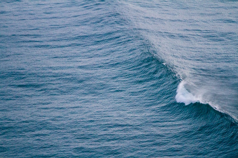
PacWave's southern wave energy test site has added two new wave measurement buoys that may help improve your next surf forecast around Newport. The buoys, just 7 miles southwest of Newport, measure many aspects of wave, wind and sea surface conditions providing researchers and wave energy developers data on wave characterization at the energy converter test site. Data and resources like this can also be a real game changer for those ocean users like surfers, nearshore fishermen and sailors in forecasting conditions. Normally relying on data generated by buoy stations 20 miles and further from shore, this new data will provide a much better picture of what's happening closer to the beach, which can be vastly different than offshore conditions.
 A screenshot of some of the data available from station 277. The stations are in 70 m water depth, essentially co-located in the same expected wave conditions, at only 2 km apart. While it's a bit slow on page loading and server connection, the multi-array provides near real time updates on many of the ocean and wave criteria surfers care about. Access the stations below:
Station 277
Just about 3 years ago PacWave officially broke ground off the Oregon coast as the first marine renewable energy research facility in federal waters off the Pacific Coast. PacWave was also the first commercial-scale, utility grid-connected site to obtain a license from the Federal Energy Regulatory Commission (FERC) for ocean energy production and research in the United States. The process to finalize the site, obtain federal and state permitting, lease licensing and negotiate work with the community attracted much interest from Surfrider members and the recreational community. Besides wave energy developers and researchers, surfers and ocean goers are keenly aware of the importance of data in supporting safe and successful ocean recreation. And while there are a range of phone apps and resources to draw data into specialized forecasting, most of those data sources are far from shore.
For many reasons, Surfrider was an engaged advocate during the years of planning, siting and permitting of PacWave. Recreational users are important stakeholders and we wanted to ensure that data generated at the site was available and could be accessed by the public. Having these resources available to ocean users today is a full circle on that early advocacy and collaboration with developers of the PacWave site and underscores the importance of engaging ocean users in ocean energy planning efforts.
‘PacWave will not only be the leading facility for testing wave energy capture and transmission to the grid, but will be a gold mine of information for other users." says Burke Hales, chief scientist for the PacWave project site. "We will have multiple persistent wave-measurement buoys as well as buoys monitoring ocean currents and wind and weather conditions that should be of interest to mariners, fishers, and surfers alike."
These new resources for listening and monitoring our ocean in Oregon come on the heels of a significant proposed budget cut in the President's Budget for the nation's Integrated Ocean Observing System (IOOS). The program of NOAA is really known as the "eyes of the ocean" and is likely the most important system for informing your favorite surf forecast, in addition to providing critical safety, navigation, weather forecasting and climate monitoring. Surfrider Foundation has launched efforts nationwide to restore critical funding to NOAA more broadly, including IOOS, amongst the proposed President's cuts - take action below and contact your representative to support NOAA's coastal and ocean budget.

 As a founding member of the Newport, OR Chapter, Charlie has greatly advanced Surfrider's mission through ocean conservation as the Oregon Policy Manager. With a BS in Marine Biology and as a member of the Oregon Ocean Policy Advisory Council, Charlie’s ties to the ocean reach far and wide.