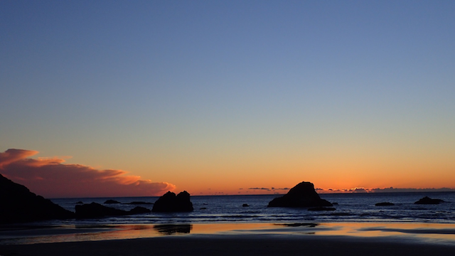
One of Oregon's most dramatic coastal features is our rocky shoreline. Approximately 41% of Oregon's coast is comprised of rocky shores and beyond the scenic splendor offered by these features, it's one of the most biologically diverse areas of our oceans.
More commonly known by the public as rocky tidepools, Oregon's rocky shores are also a tremendous resource for exploration, learning, research and science. Managed by the state within Oregon's "Territorial Sea", the swath of coast from the shoreline out to 3 nautical miles, many of these areas are special enough to have designations like habitat refuges, research reserves and marine gardens.
As part of Oregon's ongoing strategy to protect important ocean uses and resources, Oregon's rocky shores and their special designations and management are being revisited as part of the Territorial Sea Plan process - and your input is needed! As part of this process, the state has produced an awesome storyboard map that guides you through the various special designations...not to mention some of the coolest places to tidepool. Tap on the arrows below to take you on a tour of the rocky shores of the Oregon coast. On any title, tap the "learn more" link to take a deeper dive - the map flies down the Oregon coast to some of our most splendid tidepool and dramatic rocky shore habitats!
- Participate in the Rocky Shores Needs Survey. What do these areas mean to you and what uses and resources are important to you here?
- Participate in the Rocky Shores Issues Survey. Do you see current management issues and certain rocky shores? Help map and identify these concerns for the planning process.
- Submit Public Comment: Via email to tspcomments@dlcd.state.or.us or attend a public meeting – all posted here and regularly updated!
 As a founding member of the Newport, OR Chapter, Charlie has greatly advanced Surfrider's mission through ocean conservation as the Oregon Policy Manager. With a BS in Marine Biology and as a member of the Oregon Ocean Policy Advisory Council, Charlie’s ties to the ocean reach far and wide.